
maps and guides
Traditional Maps
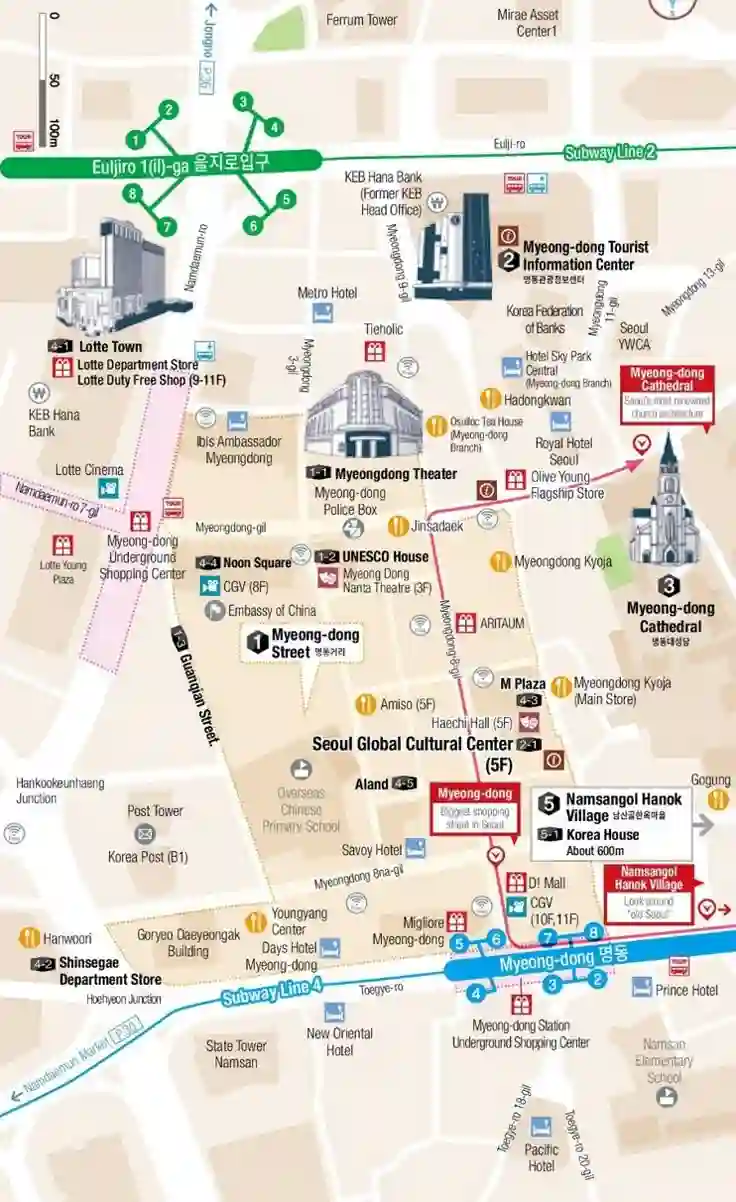
A range of the most important maps you’ll need to get around South Korea, these are our South Korea print maps and downloadable for your convenience.
Maps
Printable traditional maps offer a physical backup to digital navigation, providing an overall view of an area with details like roads, terrain, and facilities via a legend and scale. These maps are accessed by downloading official data from government websites, with some services even allowing users to print custom-tiled sections or the entire map. While older maps had inaccuracies and fixed information, modern printed maps from government sources remain accurate and valuable for planning and navigation, though users must ensure they are suitable for their specific purpose.
What are they?
- Physical Backup: Printable maps serve as a reliable backup to GPS devices, which can fail due to battery loss or signal issues.
- Detailed Information: They display essential features such as road types, towns, facilities (hospitals, fuel), and terrain, all explained in a map’s legend.
Key Features
- Topographic Detail: Topographic maps are particularly useful for bushwalking, showing ground elevation and shape with contour lines.
- Legends and Scales: A map’s legend explains symbols, while a scale indicates distances, helping users orient themselves and understand the area.
- Grid References: Grid lines and letters/numbers are used to create grid references, a system for pinpointing specific locations.
Seoul City
Busan
Daegu
South Korea, located on the southern portion of the Korean Peninsula in East Asia, is a country characterised by a mountainous terrain, with plains concentrated along the coasts and in the western regions, and more than 3,000 islands, including the large Jeju Island. The landmass is surrounded by the Yellow Sea to the west, the East Sea (Sea of Japan) to the east, and the Korea Strait to the south. Key geographical features include the rugged Taebaek Mountains in the east and Sobaek Mountains in the south, as well as the highest peak, Mount Hallasan, an extinct volcano on Jeju Island. The country’s maps showcase the division of its land into administrative regions and provinces, with Seoul serving as the capital and largest city.